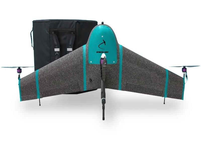
Xsens has released a case study detailing how its MTi-G-710-GNSS high-performance GNSS-aided inertial navigation module has been used by drone manufacturer ATMOS UAV to provide millimeter-scale geolocation accuracy for the new Marlyn hybrid VTOL (vertical take-off and landing) fixed-wing UAV (unmanned aerial vehicle).
Read the full case study on Xsens’ website
Both quadcopters and fixed-wing drones have particular drawbacks that reduce their effectiveness in surveying and mapping applications. Multirotor drones are generally less efficient in flight and take more time to cover a particular area, while many fixed-wing UAVs require a runway to take off and land. The Marlyn offers the advantages of both platforms, providing highly stable and efficient flight while being able to take off and land in only a small area.
Xsens’ MTi-G-710-GNSS integrates a 3D accelerometer, 3D gyroscope, magnetometer and a GNSS receiver input into a compact 37mm x 33mm x 12mm module weighing just 11g. In addition to its minimal footprint, the low power consumption of 750mW in normal operation also helps prolong the Marlyn’s flight duration.
The module provides high-quality attitude, position, velocity, acceleration, magnetic heading and rate-of-turn data. The GNSS receiver features a multiple-constellation configuration which maintains high location accuracy, even during periods of limited GNSS visibility. Advanced proprietary sensor fusion algorithms combine inertial measurements with GNSS data to deliver highly accurate positioning at an output rate of up to 400Hz. Marlyn’s survey outputs and visual/thermal images are tagged with geolocational data accurate to as little as ±10mm. The sensor module’s attitude and heading data outputs are also used to stabilize the drone and its optical imaging system in flight.
To find out more, read the full case study on Xsens’ website.
The post Millimeter-Level Accuracy for ATMOS Hybrid VTOL UAV appeared first on Unmanned Systems Technology.
